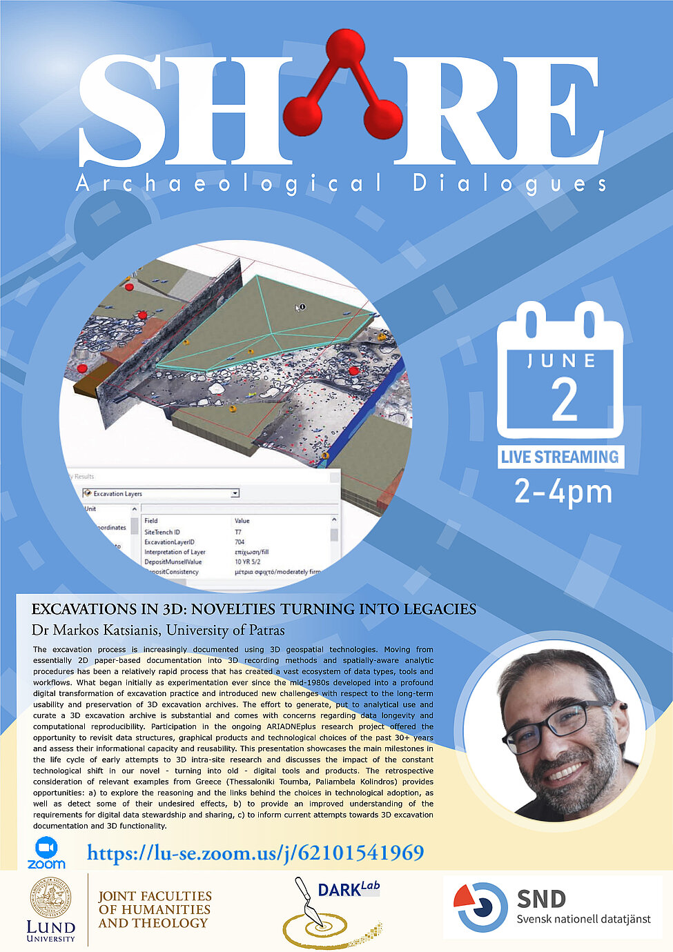
The excavation process is increasingly documented using 3D geospatial technologies. Moving from essentially 2D paper-based documentation into 3D recording methods and spatially-aware analytic procedures has been a relatively rapid process that has created a vast ecosystem of data types, tools and workflows. What began initially as experimentation ever since the mid-1980s developed into a profound digital transformation of excavation practice and introduced new challenges with respect to the long-term usability and preservation of 3D excavation archives. The effort to generate, put to analytical use and curate a 3D excavation archive is substantial and comes with concerns regarding data longevity and computational reproducibility. Participation in the ongoing ARIADNEplus research project offered the opportunity to revisit data structures, graphical products and technological choices of the past 30+ years and assess their informational capacity and reusability. This presentation showcases the main milestones in the life cycle of early attempts to 3D intra-site research and discusses the impact of the constant technological shift in our novel - turning into old - digital tools and products. The retrospective consideration of relevant examples from Greece (Thessaloniki Toumba, Paliambela Kolindros) provides opportunities: a) to explore the reasoning and the links behind the choices in technological adoption, as well as detect some of their undesired effects, b) to provide an improved understanding of the requirements for digital data stewardship and sharing, c) to inform current attempts towards 3D excavation documentation and 3D functionality.
Join the seminar here: https://lu-se.zoom.us/j/

