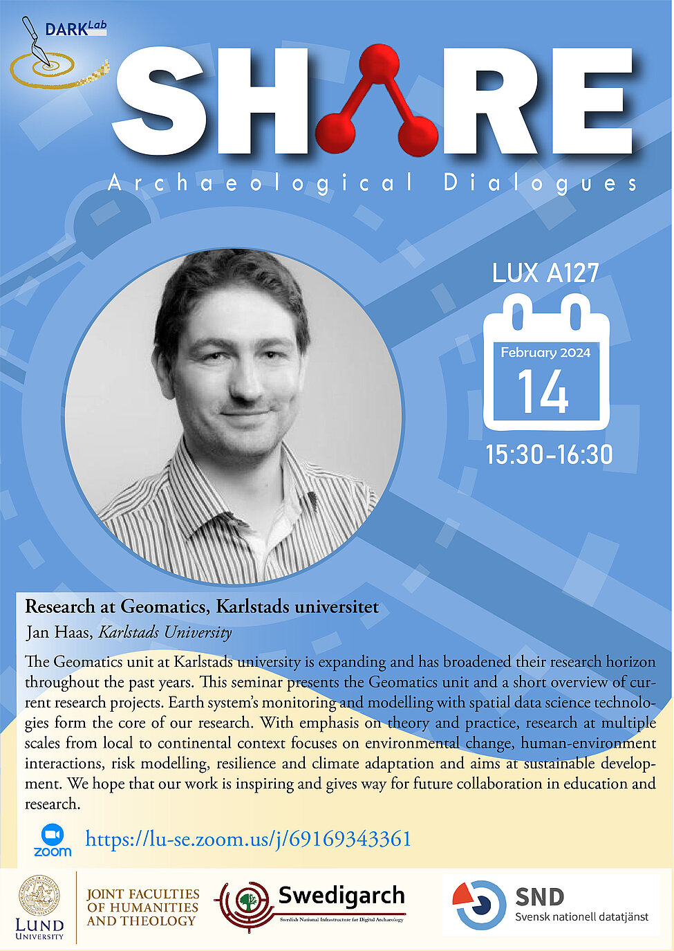
The Geomatics unit at Karlstads university is expanding and has broadened their research horizon throughout the past years. This seminar presents the Geomatics unit and a short overview of current research projects. Earth system’s monitoring and modelling with spatial data science technologies form the core of our research. With emphasis on theory and practice, research at multiple scales from local to continental context focuses on environmental change, human-environment interactions, risk modelling, resilience and climate adaptation and aims at sustainable development. We hope that our work is inspiring and gives way for future collaboration in education and research.
The hybrid seminar will be held on 14 February, from 15.30 to 16:30 , on zoom ( lu-se.zoom.us/j/69169343361) and in person at the LUX building, room A127.

